“There can be no greater issue than that of conservation in this country” - Teddy Roosevelt
PlymptonPARKS
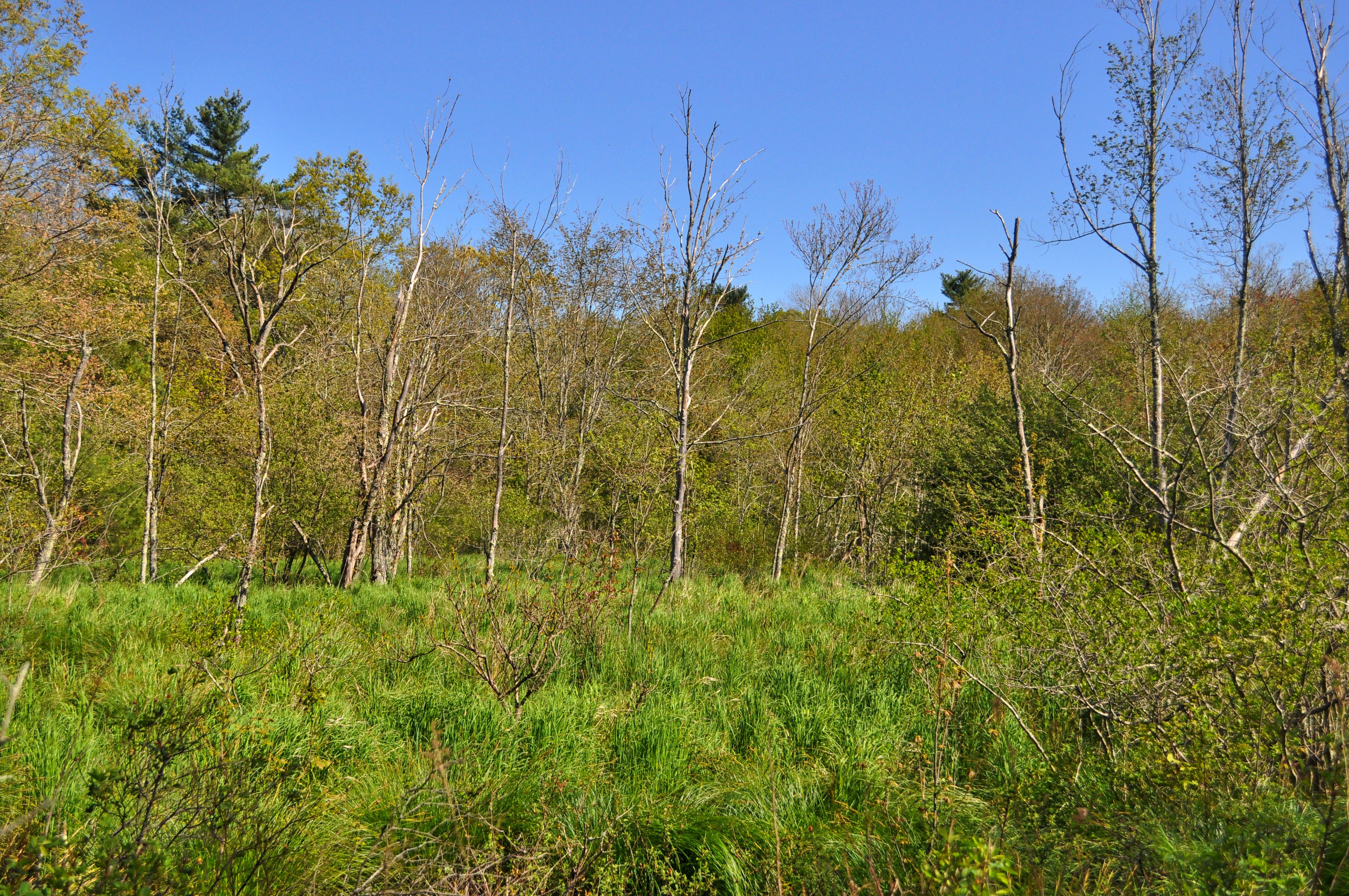
Churchill Park (11 acres) is named after the William Churchill family, one of the first families to settle in Plympton in the early 1700’s. Churchill descendants have lived in Plympton for most of the town’s 300+ years. The Messinger family, the most recent owners of this land, are direct Churchill descendants. They wanted the town to have this land to be conserved for all to enjoy.
Cato’s Ridge Conservation Area (77 acres) has been owned by the Town of Plympton since the early 1990’s, when the T.L. Edwards company donated the land to the town. Cato was a servant who reputedly had a house on the Ridge during the Revolutionary period. He died in 1806.
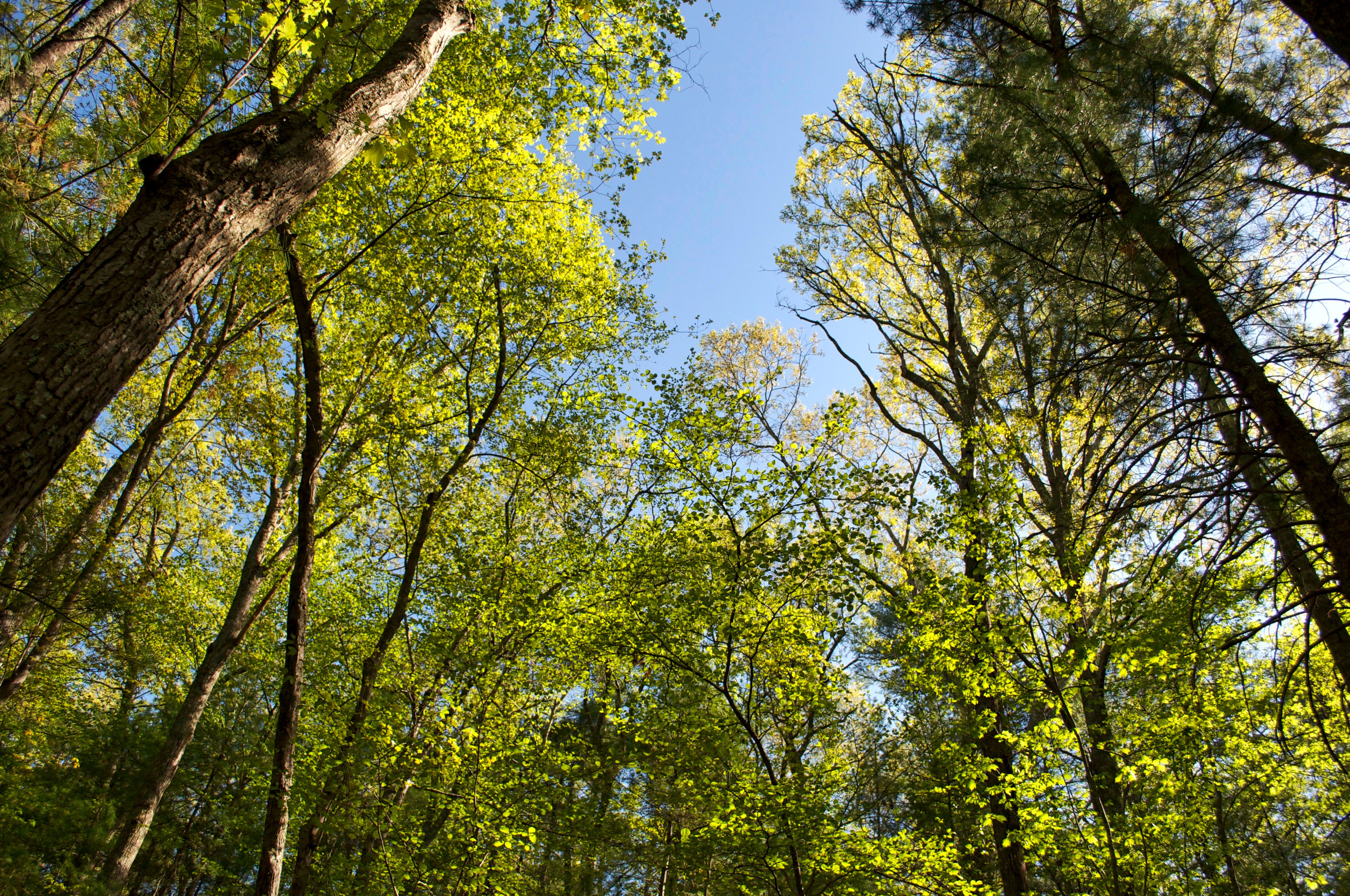
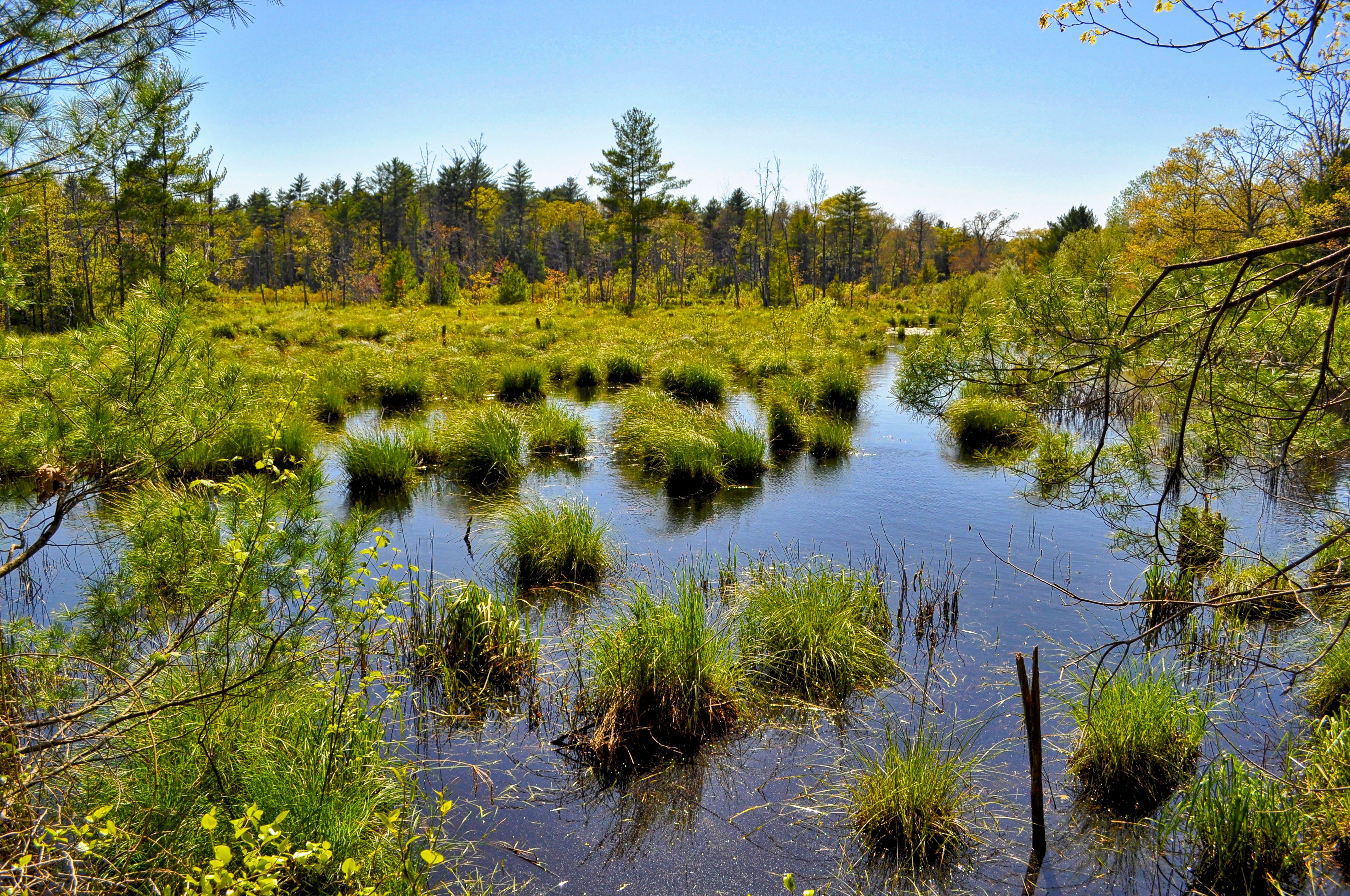
The Ridge Area is part of a glacial deposit that left a series of high hills and ridges throughout the South Shore. The Ridge has an elevation of 130 feet. The area includes hardwood forests, wetlands, vernal pools and a small pond. Native American artifacts have been found in the area, confirming oral histories about the use of this area by these native peoples. In Plympton’s early years, residents took teams of horses or oxen to the area to harvest wood, creating the wide cart paths that still wind through the forest. In the 19th Century, these rough roads were sometimes used to travel between Plympton and Halifax. In the early 20th Century, some areas were converted to cranberry bogs and the town briefly used some of the resources as a gravel pit to build local roads, the effects of which are still evident today. Cato’s Ridge lies over the Plymouth-Carver Aquifer, a sole-source aquifer which has high recharge value for the water of many Plympton properties.
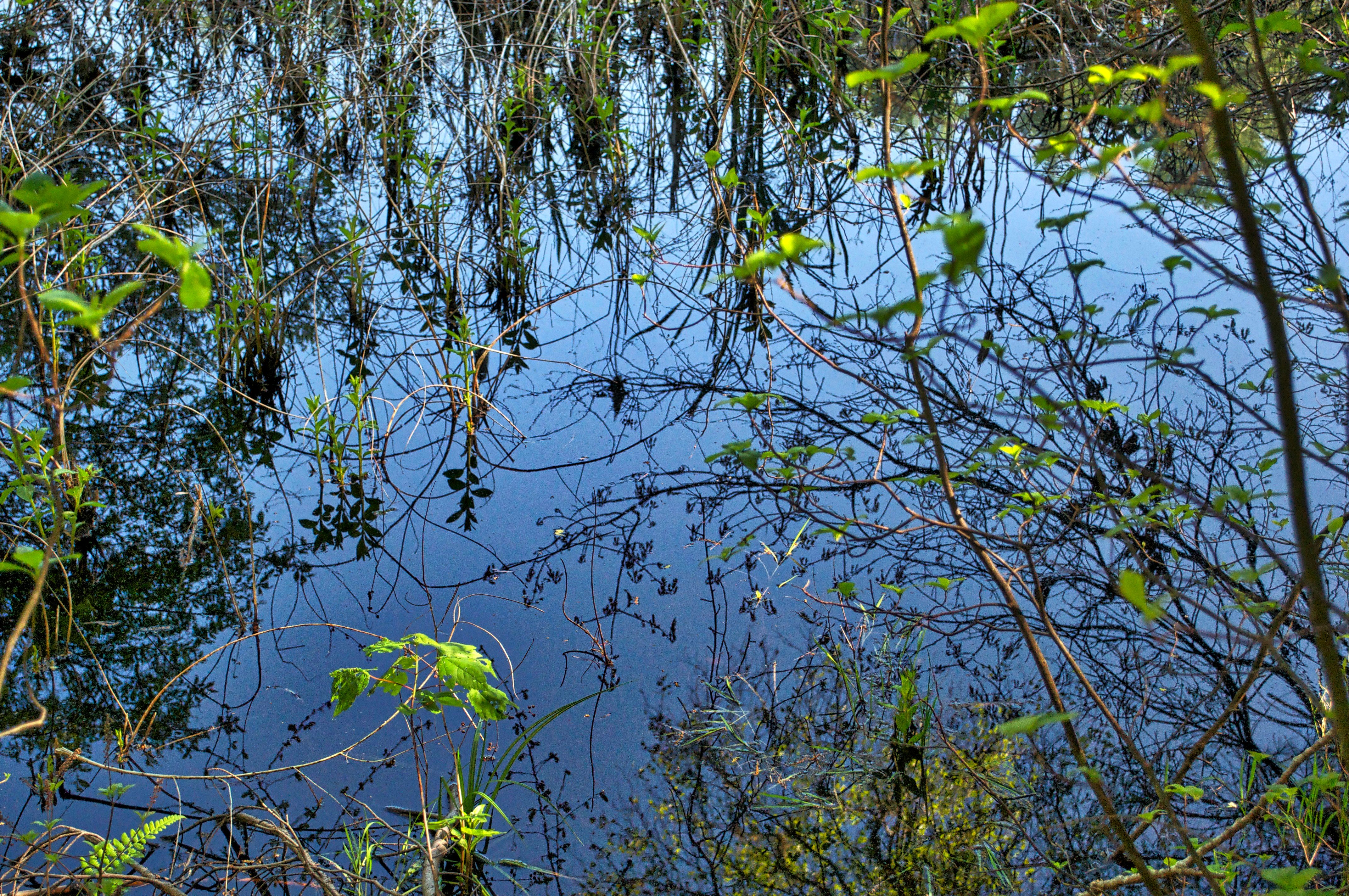
The O’Neil Marsh (17 acres) was most recently owned by long-time Plympton resident Roger O’Neil of Ring Road. In the mid-20th Century, it was a cranberry bog, but for most of the 250 years before that, it was one of Plympton’s best freshwater meadows, harvested annually for its hay.
Jones River Brook is named after Christopher Jones, Captain of the Mayflower. The Brook, a tributary of the Jones River, starts in the wetlands near Brook Street, passes through Plympton and joins the Jones River in Kingston before spilling out via Kingston Bay to the Atlantic Ocean. The wetlands surrounding the Brook are significant to Plympton’s water supply, groundwater, flood control, storm damage and protection of fisheries and wildlife habitat.
The Brook is also the dividing line between Plympton’s two watersheds. All lands east of the Brook are in the South Coastal Watershed. All lands to the west of the Brook are in the Taunton River Watershed .
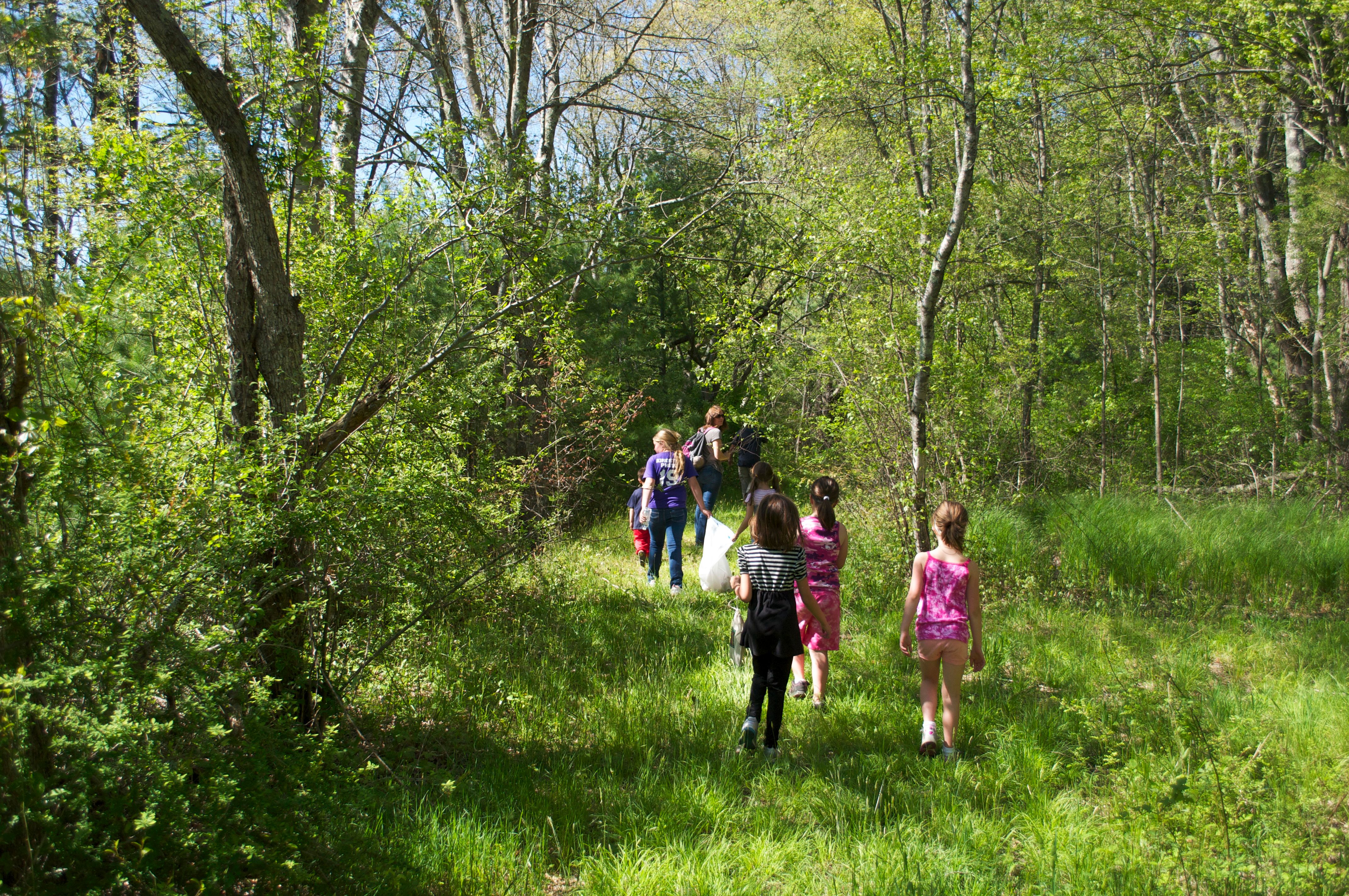
Wildlife and other natural features- The Parks’ many different habitats provide important breeding, wintering and migratory areas for wildlife. Some of the hemlocks and beeches are well over 100 years old. The Parks’ entire area is designated by Massachusetts as “Supporting Natural Landscape”- that is, habitats that provide critical value to the surrounding landscapes and support long-term environmental quality.
You can still support the PARKS...
Donate now!
Did you miss the Bridge to the Ridge fundraiser? You can still support your PARKS by donating with the link below. Or if you prefer to show your support by wearing a PlymptonPARKS shirt - please select the contact in the navigation and let us know you would like to by a t-shirt and what size you are looking for. We will get back to you on avaiability.
Most of all - use your PARKS and enjoy the varied natural beauty that exists in YOUR backyard!!!